Project Summary: Thermal Surveys in North Sumatra
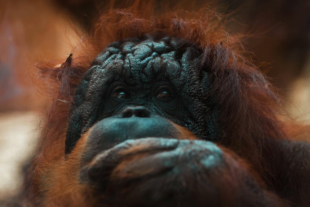
I partnered with the Yayasan Orangutan Sumatera Lestari – Orangutan Information Centre (YOSL-OIC) to conduct an aerial biodiversity survey of Leuser National Park in Indonesia.
The OIC works to restore the Sumatran forest. They research and survey orangutans and other endemic species in the area, educate and train the surrounding communities about wildlife conflict mitigation, restoration and farming, and have a patrol unit monitoring and reducing forest crimes. Their Human-Orangutan Conflict Response Unit was created in 2010 and is funded by UNESCO. Its main purpose is to directly respond to the threats that orangutans face in Northern Sumatra.
The OIC is tackling Sumatran conservation by approaching the issue from many different angles with their multidisciplinary initiatives playing off one another to be more effectual. Some of these include: buying areas of forest that were turned into palm oil plantations and replacing them with indigenous and endemic plants, educating the local communities about permaculture and farming to increase their yield and reduce the need to encroach on forest areas, rescuing and rehabilitating isolated and injured orangutans into larger, thriving metapopulations, patrolling the forest for poachers and illegal loggers and more. They believe strongly that approaching Sumatran conservation from different angles will allow for a greater impact and that the solutions eventually affect each other to create effective change.
Using Aerial Thermal Imaging to Survey Tropical Forests
Sumatran Rainforest restoration in the Gunung Leuser National Park (GNLP), or Leuser Ecosystem in Sumatra, has been an ongoing project for the OIC. We wanted to see how useful thermal imaging technology might be in tracking the success of current restoration efforts by looking for endemic species return, back into the once damaged areas. Before the sites were in the care of the OIC, they had been turned into palm oil plantations, with all native vegetation and all wildlife removed from the area. The OIC worked hard to rehabilitate both sites, replanting and tending to the forest and both were now densely forested ecosystems that could be tested.
We used GIS mapping systems to grid two rehabilitation sites in the OIC’s rehabilitation area, Bukit Mas and Cinta Raja, and then performed thermal drone surveys over the mapped areas over the course of several days. We were looking for any species return to these areas that had previously been made into palm oil plantations.
Because we were looking for presence/absence data, and were not worried about a location bias, we focused on surveying the most biodiverse areas within both restoration sites. This use of thermal imaging can be useful long term, monitoring animal presence and return over specific periods of time. It especially came in handy during nocturnal and crepuscular surveys. We were able to identify a few animals, one of which signified an endemic return from the nearby national park.
Project Limitations
The thermogram that was produced displays an image of the reflected infrared light coming from the first layer of whatever is being imaged. This means that in areas with dense canopies, like the Sumatran rainforest, the technology is limited to detection of heat anomalies in the tree tops and only on the forest floor in more sparse areas. Battery life and technical difficulties also proved challenging at times


